
This is the display on the APRS website showing our current location. Read below in this post about this and for the link you can click to see where we are.
Blue skies and light wind…plus a fair marine weather forecast today. And our new credit cards arrived as scheduled yesterday. Time to leave the dock!
Yesterday afternoon we did a little more last-minute grocery shopping (is it EVER over?) and some laundry. This morning Jim washed down the decks. We’ve got full lockers, clean clothes and a clean boat. We are ready!
The current is running east to west in Guemes Channel this morning, so we hope to have an easy passage. Light wind is forecast for Juan de Fuca Strait, so we are hopeful that Rosario Strait will be easy too. There is still a bit of fog still hanging in the distance, but it seems to be burning off.
Yesterday Jim finished his APRS project. This means that ham radio antennas near us will pick up Jim’s ham radio signal on our boat. Then, the APRS website will display our last available location on a Google Map. This will work only if there are ham radio antennas near us. We think we may be covered through the Gulf Islands, but perhaps the coverage will stop at Powell River. But we have to get out and try the setup to see if that’s the case.
You can click this link to reach the APRS website to see where we are…assuming we’re in range of ham radio antennas. Jim’s ham call sign is W7CCZ.
We’ll post more the next time we have a Wi-Fi connection.

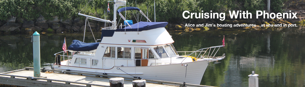
Blue skies last evening as we finished getting Phoenix ready for our trip.
