Pender Harbour to Secret Cove

July 3 – Pender Harbour to Secret Cove

Pender Harbor to Secret Cove, 10.75 nautical miles
Total this trip to date: 523.36 NM

We had a favorable weather forecast for Georgia Strait this morning, so we hoisted our anchor and left Pender Harbour at 0645. As we entered Georgia Strait, we found about 1-2 foot swells. As we turned toward Nanaimo, the swells were increasing and were on our beam. We started rolling and it soon became uncomfortable. So, rather than having another 2 hours of uncomfortable conditions, we decided to stop at a nearby anchorage, and made our way to Secret Cove. We decided to anchor just in case we saw conditions improve and we could head for Nanaimo. However, the wind increased, and, like yesterday, the weather forecast was changed at the 1030 update. Now the forecast was for NW 15-20. So we decided to stay in Secret Cove, and realized that the swells we encountered were announcing the wind that was on the way. Our anchor spot near the head of the bay north of the Secret Cove Marina was very comfortable.

We had a very nice day in Secret Cove. The sun came out, and it was a pretty spot and a quiet day. Today was our 8th consecutive day of rain (early this morning), so the blue sky and sunny afternoon felt wonderful. The kitties enjoyed the quiet time too. After many days without WiFi, we finally found an Internet connection and have been able to update the postings on our blog.

We think we’ll give Georgia Strait another try in the morning, as it looks as if we might have a day of settled conditions…however, it will depend on what we find once we get out there!

Secret Cove Marina and Store
Phoenix at anchor in Secret Cove
Mickey with the stuffed crab in his mouth
(Sorry it’s a little fuzzy, he was moving pretty fast!)

Shoal Bay to Pender Harbour

June 30 – Squirrel Cove

Shoal Bay Marina to Squirrel Cove, 31.01 nautical miles
Total this trip to date: 464.87 NM

It rained again today.  For the fifth day in a row! So we traveled with windshield wipers and radar again. There are strong winds in the forecast tomorrow for Georgia Strait…SE 15-20…and since we don’t want to be anywhere near Georgia Strait in a southeasterly, we plan to spend two days in Squirrel Cove.

We left Shoal Bay at 0900 to catch the 1015 slack at Dent Rapids. We still encountered a fair amount of whirlpools, but got through all three rapids without incident. We motored south through Lewis Channel in a SE wind, probably 10 knots. It was a gloomy but easy trip today.
There are more boats in Squirrel Cove tonight than we saw when we were here three weeks ago. But not as many as we usually see in here around the first of July. We’ve noticed less boats cruising this year…possibly due to the poor weather conditions and the economy. One marina owner we talked to said they are noticing fewer boats in the shoulder months (i.e. April/May and September/October) than in prior years. Hard to say why.
We’re planning crab enchiladas tonight as we sit in the light rain. But actually there are a few sun breaks, and temps are in the mid-60s, so perhaps the weather is turning to the better…
Still raining as we headed south in Lewis Channel
Mickey relaxing after we anchored in Squirrel Cove
The Squirrel Cove anchorage was not crowded
July 1 – Squirrel Cove
Still raining!!! It’s rained hard every day for the past six days! We have had occasional dry periods, but it’s been mostly wet. Plus, there are strong southeasterly winds 15-20 forecast for Georgia Strait today and tomorrow, and the last place we want to be is heading south in Georgia Strait in a southeasterly. We’ve been beaten up too many times in the past and hopefully we know better now. So, we are still in Squirrel Cove, and will stay here until we get more favorable traveling conditions.
We got some things cleaned up and organized around the boat this morning, and then decided we needed a break. So, even though it was still raining and windy, we put on our foul weather gear, launched the dinghy and motored over to the Squirrel Cove store…slowly in the SE swells. The store is located about 2 miles outside the anchorage, so we have to travel through the anchorage and out into the outer harbor (unprotected) to get to the store. In addition, it was low tide and the rather old ramp at the Squirrel Cove dock was extremely steep and slippery in the rain. We had to climb very carefully!
The store hasn’t changed much over the years. Because it serves the residents of Cortes Island, it’s fairly well stocked. Plus they have a giant walk-in cooler where they put dairy and produce, including a lot of organic products. The store is for sale, so we don’t know what the future will bring.
It was a good night for pasta and meatballs. Thankfully, the rain stopped and the winds turned calm about 1800, and we even had a few sunbreaks during dinner.
We took the dinghy to the Squirrel Cove store,
about 2 miles outside of the anchorage
Rosie watching the dinghy being stowed on deck, after we got back from the store.
Notice the 1979 photo of Carina, the sailboat we had for 23 years, on the bulkhead behind her.
July 2 – Squirrel Cove to Pender Harbour
Squirrel Cove to Pender Harbour, 47.74 nautical miles
Total this trip to date: 512.61 NM
We got up this morning and found the Georgia Strait forecast was 0-10 variable winds shifting to 5-10 NW, and it was calm in our Squirrel Cove anchorage! Looked like a perfect day for going to Pender Harbour.
We hoisted the anchor at 0645 and made our way out of the anchorage, through Thulin Pass, then entered Malaspina Strait. We checked the observation for Grief Point and to our dismay found it was blowing out of the southeast! At 1030, the forecast was changed to southeast winds of 5-15 with wind warnings posted. Ugh. We really didn’t want to have to beat into SE wind. But, we pressed on, and after we rounded Grief Point, the wind picked up and we began to feel some of the southeast swells coming our way.
The swells were bumpy at first, as they were on our starboard beam. The wind picked up a little and the current changed about the time we rounded Cape Cockburn. It’s about 6 miles from Cape Cockburn to the entrance to Pender Harbour, and for the whole way, we were in a washing machine with 1-2 foot swells entering Malaspina Strait from Georgia Strait, then bouncing off the land…so we got it from both directions.  We were very glad an hour later, when we finally made it inside the Pender Harbour entrance where the water was smoother. Rosie and Mickey slept through all this. They are great travelers!
We anchored in Garden Bay, which was very busy because this is Saturday night. Lots of traffic in and out of the marinas, and many boats anchored. The rain started again after dinner, marking seven strait days of rain…
We hope to be able to cross Georgia Strait and make it to Nanaimo tomorrow morning, but the forecast isn’t very promising. We will leave when the conditions are right.
The mainland BC mountain peaks sneaked out from
under the clouds as we left Squirrel Cove in the early morning
In Malaspina Strait, approaching Grief Point
We passed a schooner sailing between us and the mainland
as we passed Westview
Evening in Pender Harbour, before the rain started again

Potts Lagoon to Shoal Bay

June 28 – Forward Harbor

Potts Lagoon to Forward Harbor, 39.64 nautical miles
Total this trip to date: 414.83 NM

It was calm and lightly raining when we got up this morning in Potts Lagoon. We left at 0700 to catch the slack in Chatham Channel.  We headed down Clio Channel, watching commercial shrimpers and crabbers setting their pots for the day. The rain increased and fog developed as we passed Lagoon Cove Marina. We had an easy transit of Chatham Channel even though the visibility was reduced, and the rain stopped when we entered Havannah Channel. It was still calm…so we decided to continue on to get the Johnstone Strait passage behind us.

We noticed fog on the surface of Johnstone Strait as we looked out from Havannah Channel, and the foggy and drizzly conditions worsened as we entered the strait. We navigated by radar for most of the passage, with visibility of 2 miles or less. We had to watch carefully as there were lots of floating logs in the strait.
We turned in to Sunderland Channel and found a layer of ground fog on the water ahead. We watched a mega yacht emerge from the fog…a Westport 161 called EWIVA, with a helicopter on the boat deck. For a while, all we could see was their bridge deck, then the enormous boat appeared to our starboard. It left a rather nasty wake.
There were no other boats in Forward Harbor when we anchored, still in the rain and fog. Our trip today was almost 6 hours and we were glad to have a quiet and secure place to stop.
Johnstone Strait was calm with reduced visibility
from the fog and rain
Alice at the helm, on the lookout for logs
Mega yacht EWIVA, a Westport 161 – notice
the helicopter on the boat deck
Douglas Bay anchorage at Forward Harbor
June 29 – Shoal Bay Marina
Forward Harbor to Shoal Bay Marina, 19.03 nautical miles
Total this trip to date: 433.86 NM

Calm, but still raining when we got up in Forward Harbor. At 1008, the barometer is lower than we’ve ever seen this time of year in this area. Fortunately there aren’t any high pressure systems around, so it isn’t too stormy. But it certainly is gloomy. Hard to realize that it is almost July. Predicted winds for today in Johnstone Strait are northwest 15-20, increasing to 20-30 this evening. We plan to get somewhere where we can be stopped before it gets too bad.

We hoisted the anchor at 0730 to catch the slack current in Whirlpool Rapids and Green Point Rapids. The rain intensified for a while, but finally quit as we exited Green Point Rapids and was replaced by low-lying clouds. There was space at the dock at Shoal Bay Marina as we motored by, so we decided to stop and enjoy Mark’s hospitality again.
Bob and Marilynn Hale, who have owned and published the Waggoner Cruising Guide for many years, were visiting Shoal Bay in their Tolly 37, Surprise. Bob helped us with lines as we arrived at the dock, and it was good to visit with them for a while before they continued on their way north for a planned lunch at Cordero Channel Resort and then on to Blind Channel Resort. Bob sold the Waggoner earlier this year, but said he is still doing some research for the publication and has plans to go to Ocean Falls and Rivers Inlet this season, with a turnaround at Shearwater. We told him about the unseasonably cool and wet weather we had in the Broughtons, and he said the weather has been good on their trip north. Maybe we’ll find some better weather once we get to Desolation Sound…
Still raining in Chancellor Channel on the way to Shoal Bay
A logging camp on the mainland in Cordero Channel
They were sliding logs into the water to form a log boom
During a brief evening sun break, we saw the tops of the
mountains in Phillips Arm from the Shoal Bay Marina dock

Port McNeill to Potts Lagoon

June 24 – Goat Island Anchorage at Crease Island

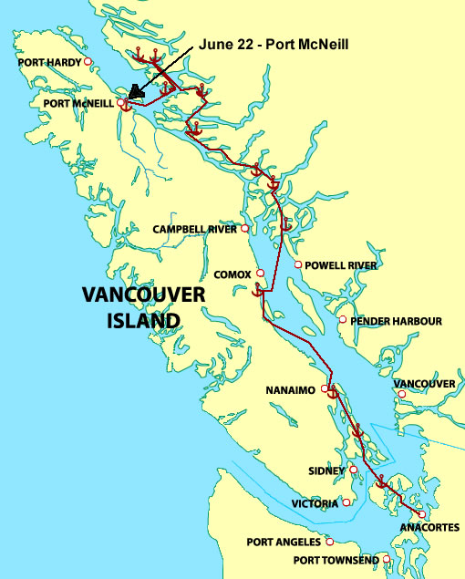
Port McNeill to Crease Island, 21.6 nautical miles
Total this trip to date: 362.04 NM

Fortunately it was not raining when we got up this morning! We found about 6 inches of rain in our dinghy…testament to the amount rain that fell yesterday. Everything outside was soaked, but we are very grateful that it is dry today.

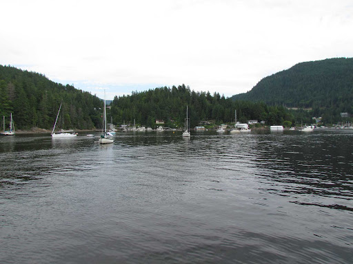
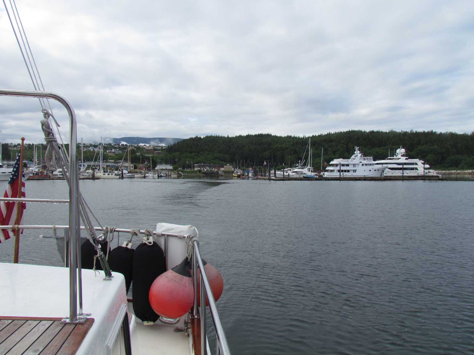
At 0745 we untied our lines and motored over to tie up at the Port McNeill Fuel Dock and Marina just across the fairway from the Port McNeill Boat Harbour. It opens at 0800 and we wanted to be their first customer. There was a phone there with instructions to call for an attendant, so we called and she came down to help us. The access to this fuel dock is one of the easiest we’ve seen. It’s fairly new and the dock was lined with many fenders that were closely spaced…we didn’t even need our own fenders! We were lucky to be the only boat fueling. The fuel dock attendant was very friendly and efficient, even through she said she’s only been in Port McNeill for 3 weeks, and came here from Ottawa…all the way across the country. I said something about yesterday’s rain being as bad as in Ketchikan, and she asked if we had been there yesterday! Needless to say, she needs to get a little more familiar with west coast geography…
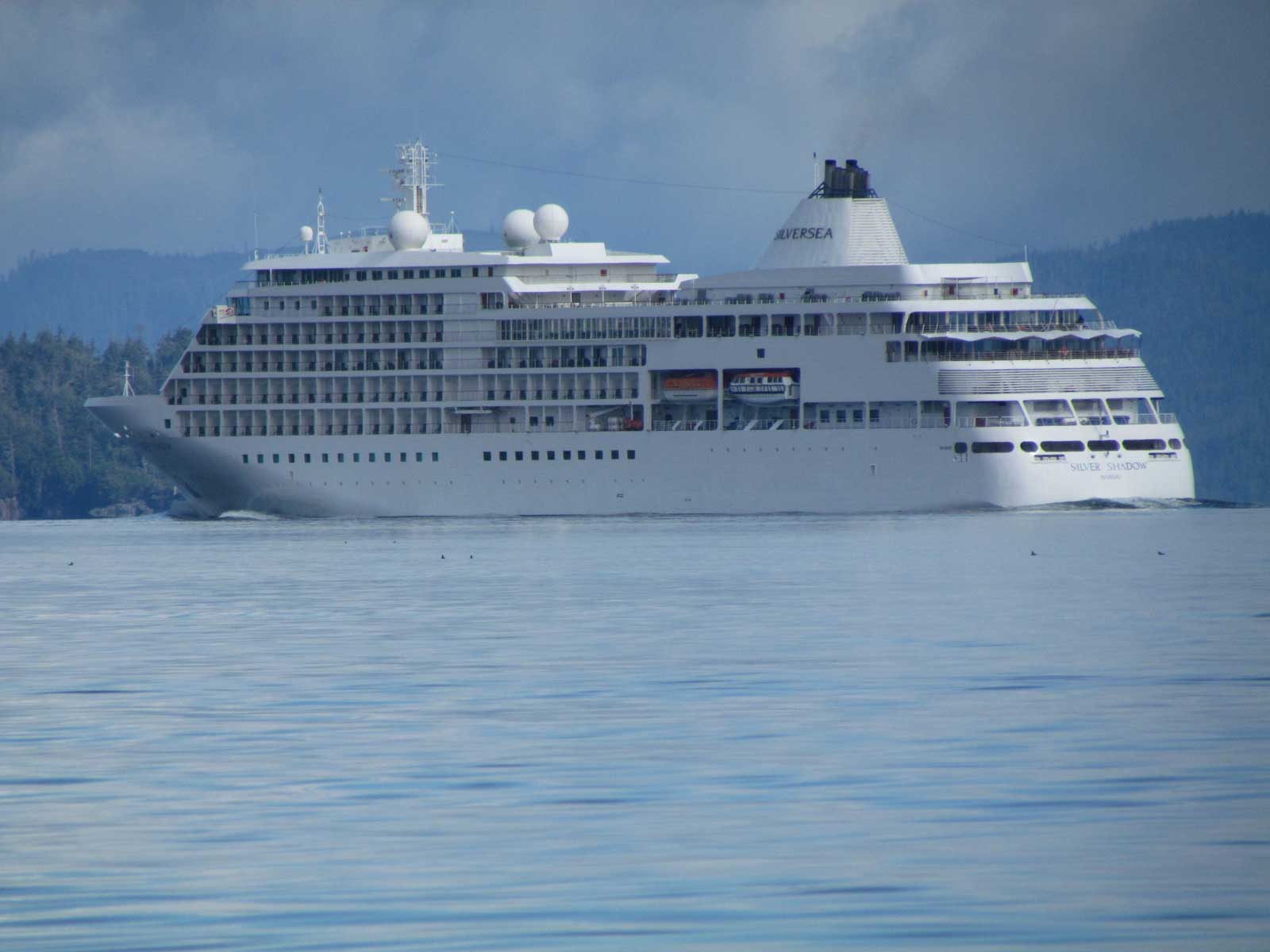
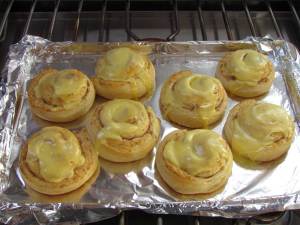
We left the fuel dock at 0845 and headed back across Queen Charlotte Strait to Blackfish Sound. Today we were blessed with very calm conditions and even some sunbreaks. Because it was so calm, we baked Orange Danish underway. Orange Danish is a long-time tradition for us. We frequently baked it when we were sailing on Carina when we left early in the morning for long passages, especially when the weather was cold. On the sailboat, we used to eat the Danish in the cockpit, protected by our dodger. We don’t have Orange Danish very often anymore…it’s not the most healthy of things, of course, and now that we’re traveling inside in a power boat, it just isn’t the same. But today the Orange Danish tasted WONDERFUL!
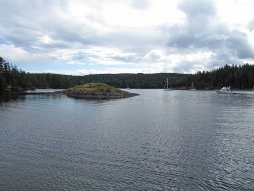
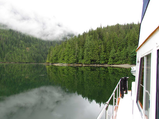
We anchored at Crease Island at 1200 in about 20 feet at mid-tide. One other boat was here that left shortly after we anchored. We had the place to ourselves until later in the afternoon when three other boats came in.
We launched the dinghy and put the crab trap out. We got crabs here in 2009, so thought we’d try again. We took the dinghy in to the beach and walked around on many, many large rocks. The head of the bay was filled with all sizes and types of driftwood. It’s apparent that the winter storm winds blow fairly fiercely in here.
The wind came up in the afternoon and we were sailing a lot around our anchor. It continued to gust until nightfall. The sun stayed out most of the day, occasionally being blocked by some passing clouds.
Leaving Port McNeill :
Port McNeill Boat Harbour on the left, fuel dock on the right
Our Orange Danish morning treat
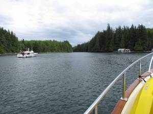
Cruise ship entering Queen Charlotte Strait
from Blackney Passage…left a huge wake
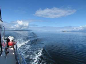
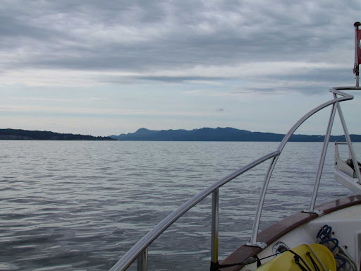
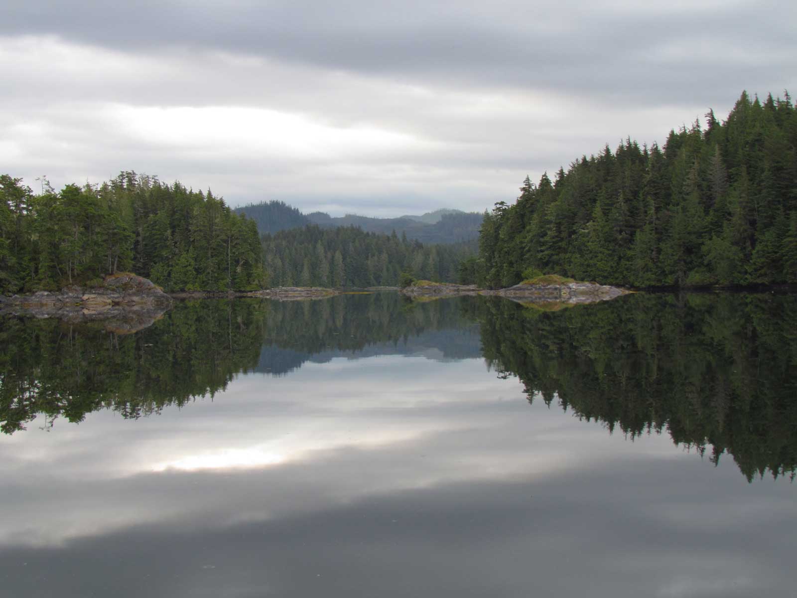
Queen Charlotte Strait was calm and sunny for our passage
Crease Island anchorage
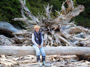
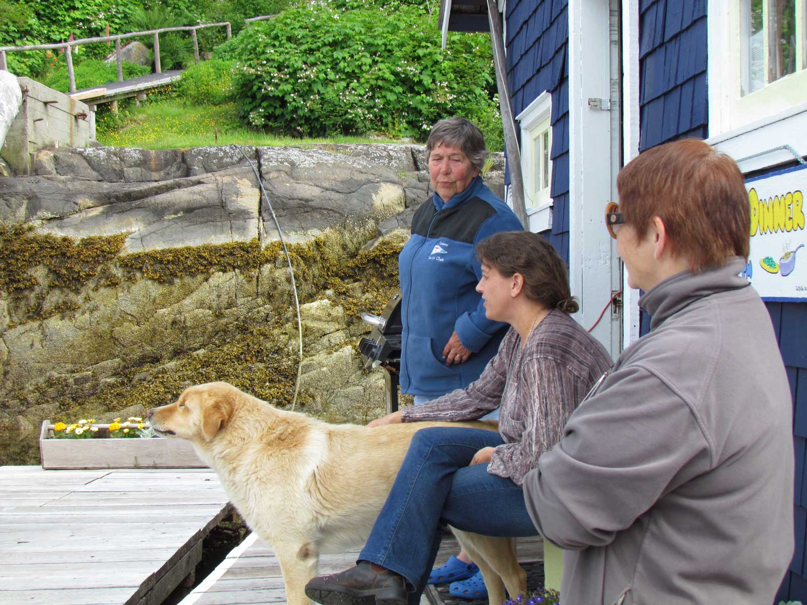
Alice by the massive amount of driftwood on Crease Island
June 25– Mound Island
Crease Island to Mound Island, 4.26 nautical miles
Total this trip to date: 366.3 NM
It rained overnight, but was dry this morning. It was still cloudy, and a little breezy in the anchorage. All we caught in our crab trap was a giant starfish. And we even have salmon scraps for bait!

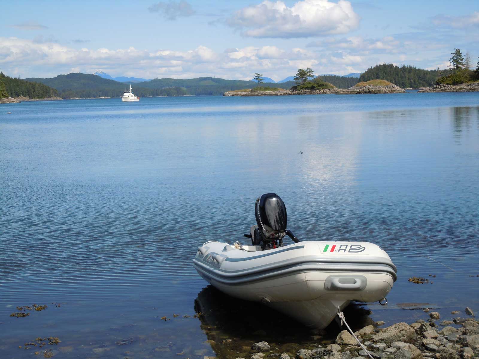
We decided to cross Indian Channel and anchor at Mound Island. We’ve never stayed here before, but the crabbing has always been reported as good. It was only a 45 minute trip, and we found ourselves alone in the anchorage. After we anchored and were getting the crab trap ready, a small aluminum skiff breezed through the anchorage to check about a half dozen crab traps they have out. We hope there will be some crabs left! Our speculation is that they came over from Farewell Harbor, which is just across the channel from us. Farewell Harbor is a luxury fishing retreat, and probably they offer crabs on their menu…
The anchorage at Mound Island is at the end of a long channel. It is exposed at the head to the afternoon westerlies, so we anchored before we got to the head. It’s still a little breezy where we are, but the holding is good and it is not uncomfortable. Another boat came in later in the afternoon. And a couple more dinghies have come in and dropped crab traps.
It actually got sunny with temps in the 60s this afternoon…it was nice to see some blue sky! We enjoyed a quiet day of reading and relaxing. So did the kitties!
Mound Island anchorage
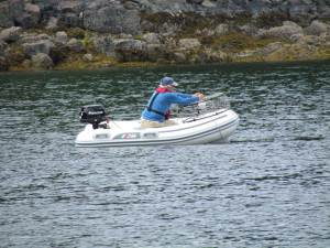
Jim launching the crab trap at Mount Island anchorage
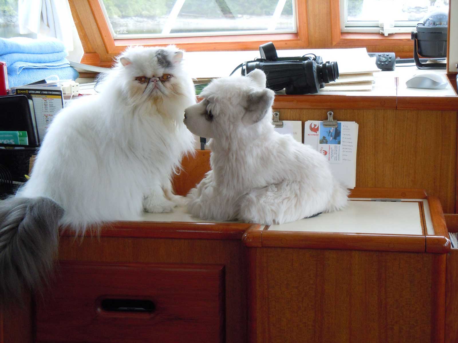
Mickey enjoys wrestling with King, a stuffed animal
June 26 – Potts Lagoon
Mound Island to Potts Lagoon, 8.89 nautical miles
Total this trip to date: 375.19 NM
It was gorgeous when we got up this morning at Mound Island! Blue sky, sunshine and calm. Jim retrieved the crab trap to find only one keeper…but at least it was one! We stowed the dinghy back on deck and left at 0945. We made our way down Indian Channel and carefully navigated through all the rocks in Beware Passage to Clio Channel, where we turned in to anchor in Potts Lagoon.

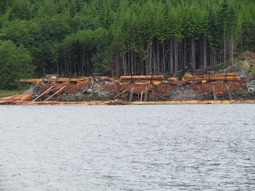
Potts Lagoon is an old favorite for us. We first anchored here in 1980 in our sailboat Carina, when there was a logging operation filling most of the bay. Now there are about a half dozen float houses that line the shore, where owners spend the summer months. The crabbing is usually good here. In 1980, we were able to just hang a crab trap off our stern and catch our limit in about an hour. Of course, there were a lot more shellfish and finfish in this area 30 years ago.
Clouds filled in mid-afternoon, and the wind increased and started to gust. There were no boats here when we anchored, but 6 other boats have come in this afternoon. It’s a big anchorage…there’s room for more.
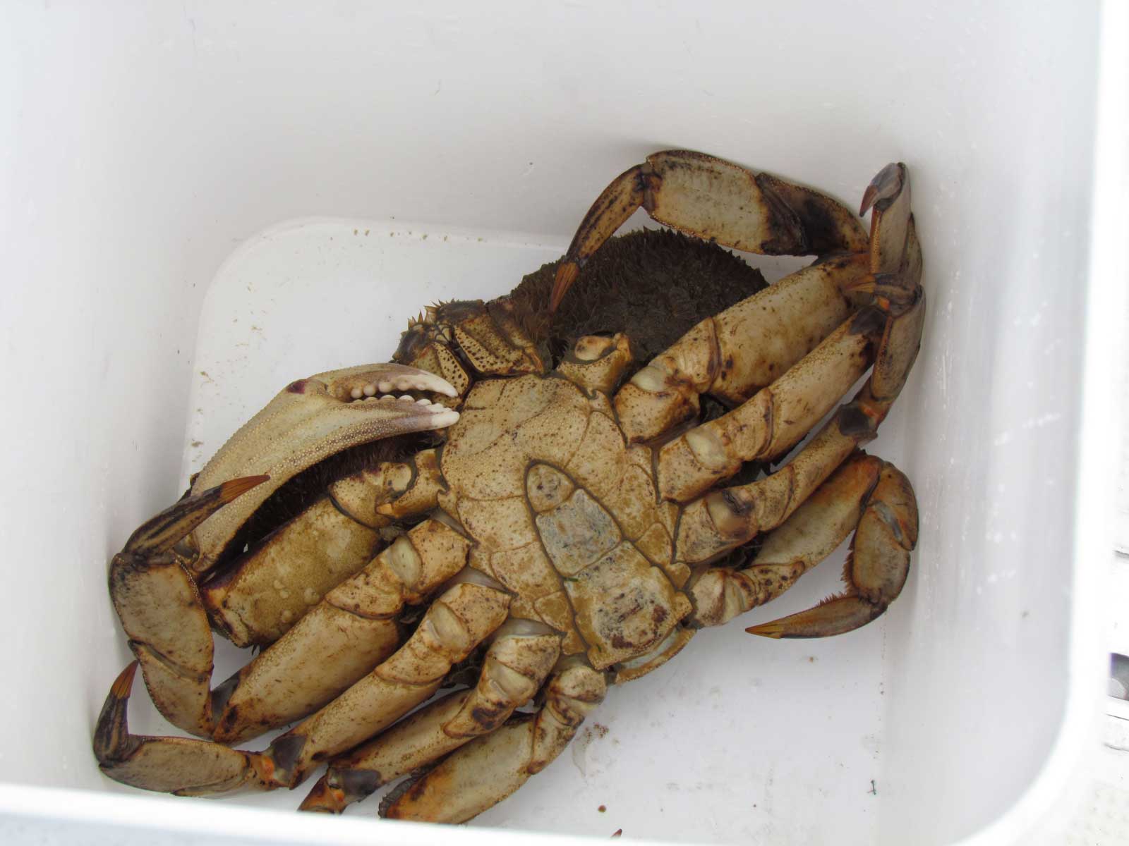
We found one keeper crab in our trap this afternoon, so we cooked it with the one we got this morning at Mound Island…and left the trap out for overnight with the hope we’ll have some more in the morning.
A gorgeous morning leaving Mount Island anchorage
From Mount Island, looking out at Indian Channel
After we navigated through Beware Passage,
we looked back to see the rocks that fill the passage
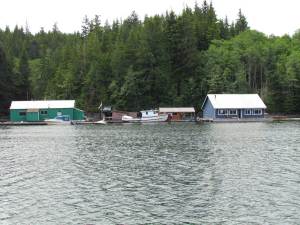
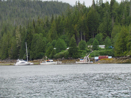
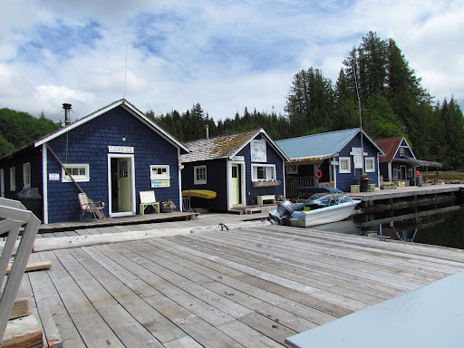
Some of the float houses in Potts Lagoon
June 27 – Potts Lagoon
Cloudy and calm early this morning, and it quickly turned to rain and wind for the rest of the day. Nobody left the anchorage, and one more boat came in. The wind gusted all day, and our plans for taking the dinghy out to do some fishing this afternoon were shelved because our boat was moving around enough in the gusts that we felt we should stay on the boat. By evening, the rain was less intense, and the wind was still gusting, but not as strong.
So, it was a good day for reading, making brownies, and starting to develop a slideshow of our cruise. We got two keeper crabs today, so we spent some time cooking crabs, as well.
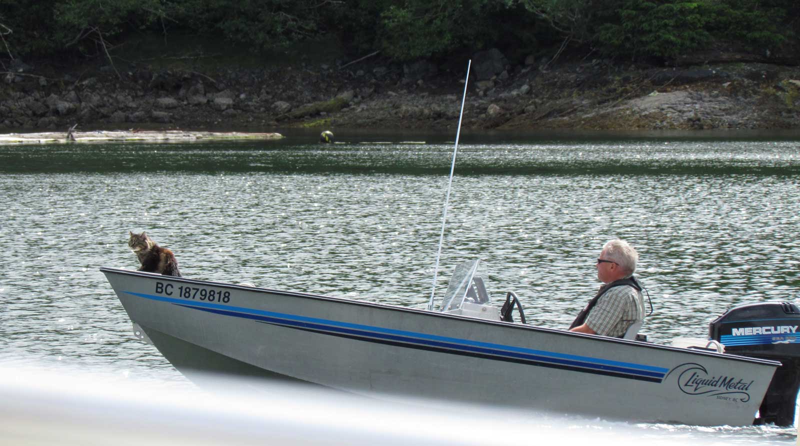
We took a snapshot of an aluminum skiff motoring by….with a kitty standing in the bow! Brave cat! He belonged on a boat anchored nearby, and later we spotted the kitty climbing down a ladder from their bridge deck to the main deck. When they came in, we noticed that the owners hung a towel off their stern…perhaps the kitty has been swimming before…
We think we’ll be leaving in the morning, and will continue on our trip south. We think we’ll end up either in Port Harvey (where we can check out the new marina) or, if Johnstone Strait is good, we may continue all the way to Forward Harbor. All plans are weather dependent, of course.


In last night’s calm, the reflections were striking
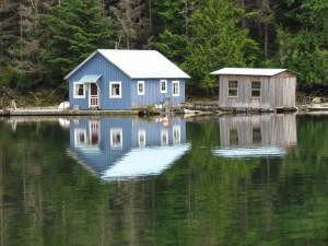
More float house reflections
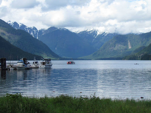
Potts Lagoon anchorage
Kitty riding in the bow of the aluminum boat
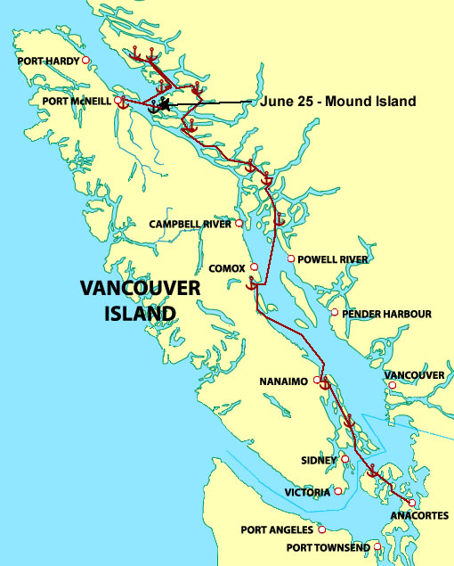
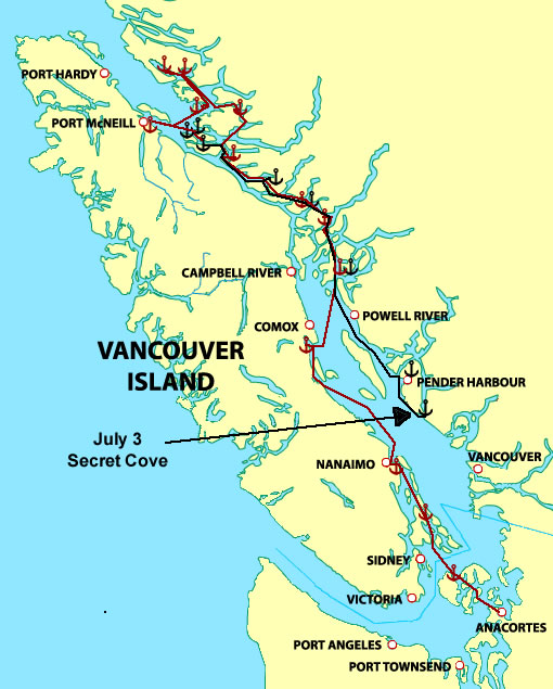
Jennis Bay to Port McNeill

June 20 – Waddington Bay

Jennis Bay to Waddington Bay, 29.45 nautical miles
Total this trip to date: 318.74 NM
We enjoyed a sunny, calm morning at Jennis Bay Marina while we waited to leave for the 1130 slack at Stuart Narrows. Exchanged boat cards with other boaters and visited with them and Allyson on the outside deck. Bravo, her golden retriever mix, enjoyed lots of back scratches, and we heard Allyson’s story about when he was attacked by a wolf three years ago. He was taken by airplane to Port McNeill, then had a car ride to Port Hardy, where he was treated. He stayed there to rehabilitate for 4 weeks before he was able to come home. He’s doing fine now, but did lose an eye in the attack. Fortunately, Kiwi, her black kitty, didn’t get hurt in the scuffle.

As we were waiting to leave, a bald eagle entertained us by fishing in the back cove. The swallows churned up the water, and the eagle swooped down many times to try to snag a fish. We got some good close up photos, but the eagle didn’t get a fish…at least not while we watched.
When we left Jennis Bay, we planned to head out Wells Passage and cruise in Queen Charlotte Strait to Cullen Harbor, however, when we exited Stuart Narrows and turned west, we encountered 18 knots of wind (complete with white caps) on our nose. Never mind! We turned back toward Patrick Passage and retraced our journey on our way here, then continued on from Echo Bay through Creamer Passage to Waddington Bay, one of our favorite anchorages. Five other boats are here, but there’s room for more.
We’ve been lucky getting crabs in Waddington Bay before, so we launched our dinghy and Jim motored out to put the crab pot in the area that has been good before. We don’t see commercial pots in this area, so we hope we’ll be lucky again.


 Allyson (in the center) with Bravo and a couple of visitors
Bald eagle waiting to catch fish in Jennis Bay
Headed south in Sutlej Channel
Anchored in Waddington Bay, looking back at the entrance
Jim taking out the crab trap.
June 21 – Waddington Bay
We stayed a second night at Waddington Bay. Jim retrieved the crab pot this morning, and we got only one crab that was a keeper…others in the pot were either too small or female. It’s apparent that the commercial crabbers have taken a lot of the crabs from this area. Jim put the crab pot back down (since the bait was intact), but at the end of the day, still no more keepers. We cooked the crab on the aft deck and picked it to be used for crab cakes.
In order to cook the crab, we had to empty out an aft locker where we keep the crab cooker. We left some of the locker contents on our bed while we were cooking, and Rosie got inside our 5-quart stainless bowl…didn’t think she’d fit, but she did…she even curled up and slept most of the day…every time she turned over, the bowl would tip, then right itself.
Jim had some more work to do on the Internet router installation, so this afternoon he finished the electrical connections. I had a chance to do some kayaking in the bay. Enjoyed watching clams spurt at low tide, crows dropping clams on rocks to open them, and eagles soaring above the beach at the head of the bay.
That afternoon, we watched the Canadian Coast Guard come in to check out the anchorage. First time we’ve seen the Coast Guard checking anchorages. They stayed only long enough to look at the five boats anchored, then left. They may have been looking for a boat that they didn’t see here.
It was calm and quiet while we were in Waddington Bay. A westerly breeze filled in for the afternoon, which is typical of this anchorage.
Looking out the entrance to Waddington Bay at dawn
Our one keeper crab
Jim on the aft deck, monitoring the crab cooking
Rosie looking proud of herself in the stainless bowl
Rosie slept all afternoon in the bowl
Alice coming back from kayaking
Phoenix at anchor in Waddington Bay
The Canadian Coast Guard came in to check the anchorage
June 22 – Port McNeill
Waddington Bay to Port McNeill, 21.7 nautical miles
Total this trip to date: 340.44 NM
We woke up in Waddington Bay to a southerly wind in the anchorage and wind warnings posted for both Johnstone and Queen Charlotte straits. We hoisted the anchor at 0800 and decided we’d head to Port McNeill if the conditions allowed, otherwise we would head to Mound Island or Crease Island so we wouldn’t have to cross the strait.

As it turned out, we were able to cross Queen Charlotte Strait. We found a northwest wind and 1-2 foot swells in the strait. It was rolly but not uncomfortable, so we continued on up Cormorant Channel and in to Port McNeill Marina. The marina is already getting pretty crowded, as the season is upon us, so we felt fortunate they had a space for us. On our way in to the marina, a commercial crabber passed us on his way out to fish. This is the first time we’ve seen so much commercial crabbing in this area, and by the way this boat was loaded with traps, we can see a possible reason why we aren’t getting as many crabs in the Broughtons as in years past.
It’s been 10 years since we were in Port McNeill, and the marina has been completely rebuilt. The marina manager’s office is now part of a visitor center in a brown building at the top of the ramp, and there are more docks for visiting boats. The town has a good-size IGA grocery store, post office, drug store, liquor store, hardware store, etc. It’s a great place to resupply. There is also a great laundry facility nearby the marina, where we did laundry this afternoon. The machines are all relatively new…there are 8 washers (plus 2 large capacity washers) and 8 dryers in this new and very clean facility.
We’ve decided to stay two nights in Port McNeill, so after doing the laundry, we had a leisurely evening, and made plans for shopping tomorrow.
We spotted this eagle on top of a rock
as we left Waddington Bay
This crabber passed us on our way in to Port McNeill
Approaching Port McNeill Marina, behind the breakwater
Port McNeill Marina

Claydon Bay to Jennis Bay

June 19 – Jennis Bay Marina, Drury Inlet

Claydon Bay to Jennis Bay, 8.72 nautical miles
Total this trip to date: 289.29 NM

We spent a very quiet night at anchor in Claydon Bay, and it was still calm this morning. It was cloudy, but not raining. We timed our departure for 1000, to arrive at Stuart Narrows at slack around 1100. Stuart Narrows is the entrance to Drury Inlet, where we plan to visit Jennis Bay Marina.

We encountered more current than we expected in Stuart Narrows, so perhaps the slack prediction wasn’t accurate for today. But, no issues on the transit, and we entered Drury Inlet shortly after 1100. It was a short motor to Jennis Bay Marina, and we arrived at 1130. Five boats were already tied up, but we found a nice spot behind Safari, the Grand Banks 42 we met at Kwatsi Bay. It’s been three years since we’ve been here, and we notice several improvements on the dock and the float buildings. Allyson, the owner and operator of the marina, came by after we tied up to invite us to tonight’s potluck. She is cooking ribs and other boaters are bringing salads. I decided to bake bread pudding.
The sun came out in the afternoon, so it was quite pleasant by dinner time. We had quite a spread for the potluck: BBQ ribs, pork roast, freshly made applesauce, crab, green salad with strawberries, mango, and avocado, biscuits, cooked vegetables, bread pudding, and chocolate cake. Nobody left hungry!
Allyson also invited members of a crew, who are building a logging road here this summer, and currently are living in float houses nearby. An interesting, colorful group of guys!
Jennis Bay is protected from Drury Inlet by a small island in the entrance. There is also a floating log breakwater that further protects the moorage area. There is no power, but there is Internet service, which sometimes worked and other times didn’t. Drury Inlet itself is quite scenic and, since it’s away from the center of the Broughton Archipelago, it’s a bit less traveled.
Stuart Narrows, the entrance to Drury Inlet
Approaching Jennis Bay Marina
Jennis Bay Marina
The dock at Jennis Bay, Phoenix on the right